Laser Scanning and Modelling
LASER SCANNING AND MODELLING
To laser scan or not to laser scan
is often the question, and has caused much debate throughout the survey industry since its introduction. Some love the technology, have fully grasped it, and use it on a day to day basis. Others think it has no place, is costly, and have stayed away.
Q: What does MT Surveys think?
A: In the beginning we believed both laser scanning and more traditional survey methods had their place, and when it comes to topographical surveys we still do. However we are a firm believer in laser scanning technology when it comes to building surveys.
When quoting we work with you to assess what you are trying to achieve and the desired outputs. From here we will assess if scanning is in fact the best method and advise you accordingly.
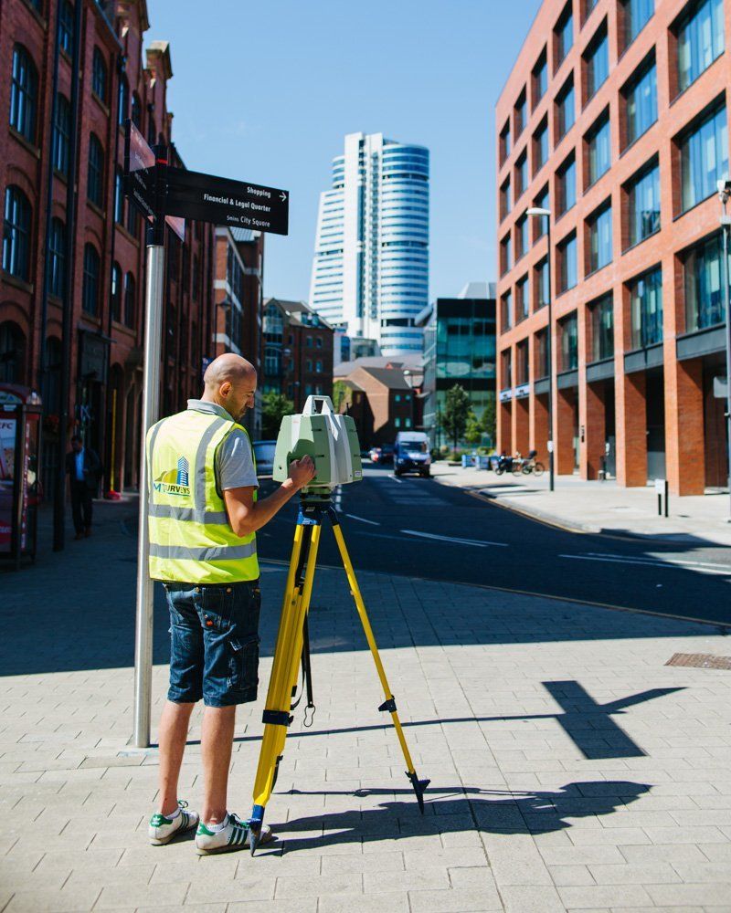
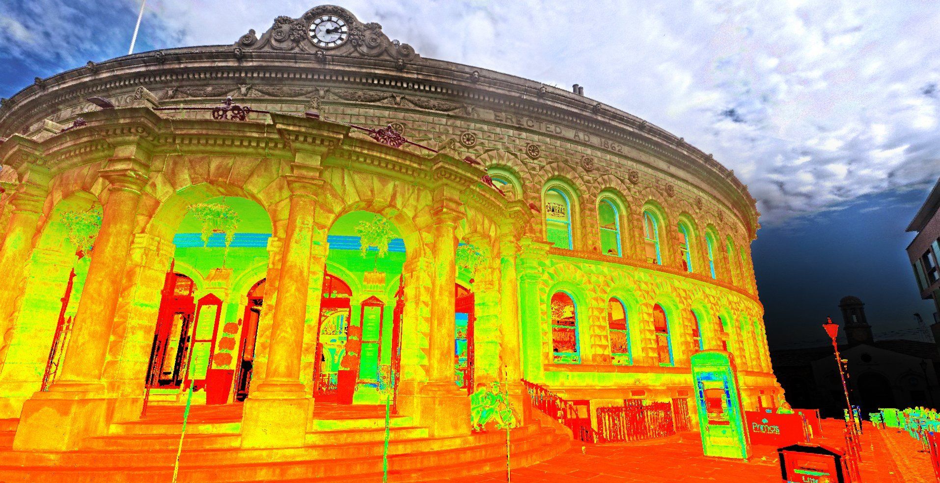
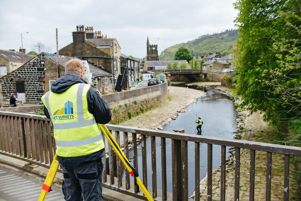
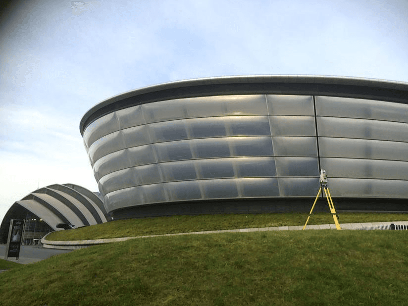
Laser scanning provides survey operatives with a highly efficient and accurate tool in which to collect data, and negates the need for return visits to sites. Technological improvements have seen collection and processing times speed up significantly, reducing site time and ultimately costs for the end user.
Q: What does MT Surveys think?
A: In the beginning we believed both laser scanning and more traditional survey methods had their place, and when it comes to topographical surveys we still do. However we are a firm believer in laser scanning technology when it comes to building surveys.
When quoting we work with you to assess what you are trying to achieve and the desired outputs. From here we will assess if scanning is in fact the best method and advise you accordingly.
Laser scanning provides survey operatives with a highly efficient and accurate tool in which to collect data, and negates the need for return visits to sites. Technological improvements have seen collection and processing times speed up significantly, reducing site time and ultimately costs for the end user.
Applications Laser Scanning can be used for:
- Sections
- Cross Sections
- Elevations
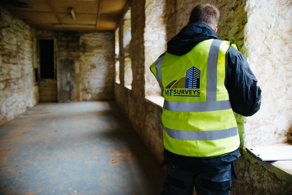
- Measured Building Surveys
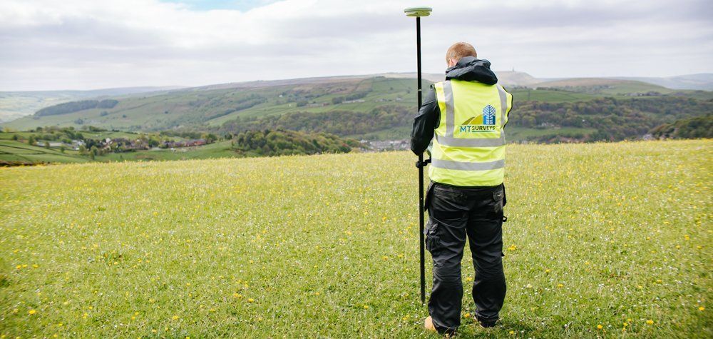
- Topographical Surveys
- Inaccessible Areas
- Monitoring
- Volumes
- Visualisations
- 3D Models
- BIM
- Revit Models
Benefits of Laser Scanning Include:
- Reduced Costs
- Reduced Site Times
- Fast turnaround for data collection – ideal on railways where access is limited
- High Accuracy
- No room for discrepancy with interpretation
- No return site visits due to complete data set and point cloud
- Increased safety
- High quality imagery
You can read more about BIM and 3D Visualisation here
You can view some of our other services below:
-
WATERCOURSE SURVEYS
-
MEASURED BUILDING SURVEYS
-
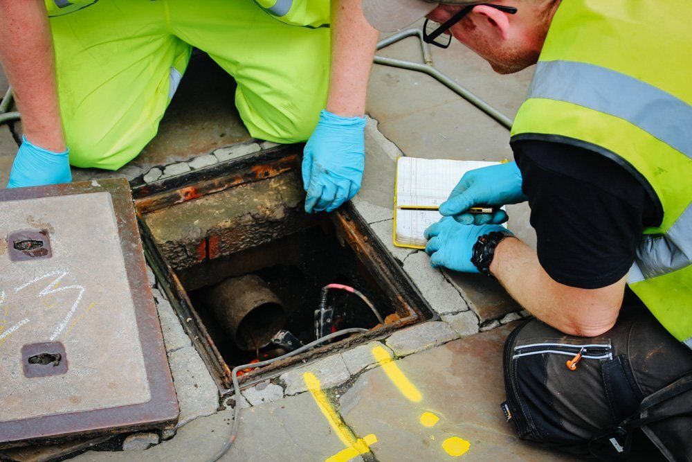
UTILITY MAPPING
-
ENGINEERING SURVEYS
-
TOPOGRAPHICAL SURVEYS