Utility Mapping
UTILITY MAPPING
Mapping what lies beneath
Mapping what lies beneath
Much has been written about the tracing of utilities, however it is now recognised that it is an important piece of site investigation prior to any development taking place, and often goes hand in hand with a topographical survey.
Building/Development Law states that before any development/ground works take place, you must be aware of what is beneath the site, ensuring when you do break ground, there are no hidden surprises causing lengthy and costly delays to site work, or possible worse with injury.
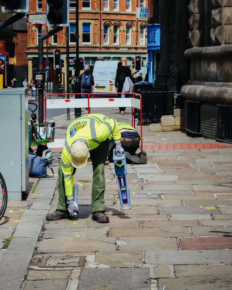
Existing utility records are the first place to start, however these are now widely recognised as being out of date, so a simple utility trace can help identify any potential utilities on site. Utility surveys are simple to carry out and through working closely with you a site assessment can be established and the most effective method of data collection can be used. Findings can be displayed in a number of ways; the simplest form is for the utilities to be marked immediately on site with paint. For many this is as detailed as it needs to be, however they can also be fully tied into a topographical survey.
MT Surveys also work closely with a Geophysics company as we have often been asked to obtain further underground information.
Building/Development Law states that before any development/ground works take place, you must be aware of what is beneath the site, ensuring when you do break ground, there are no hidden surprises causing lengthy and costly delays to site work, or possible worse with injury.
Existing utility records are the first place to start, however these are now widely recognised as being out of date, so a simple utility trace can help identify any potential utilities on site. Utility surveys are simple to carry out and through working closely with you a site assessment can be established and the most effective method of data collection can be used. Findings can be displayed in a number of ways; the simplest form is for the utilities to be marked immediately on site with paint. For many this is as detailed as it needs to be, however they can also be fully tied into a topographical survey.
MT Surveys also work closely with a Geophysics company as we have often been asked to obtain further underground information.
Benefits of Utility Mapping include:
- Meet legislative requirements
- Saves costly excavation work through targeted intrusive work
- Limits potential hazards and exposure to utilities
- Enables clients to plan and work with confidence
- Reduce health and safety risks
You can view some of our other services below:
-
ENGINEERING SURVEYS
-
WATERCOURSE SURVEYS
-
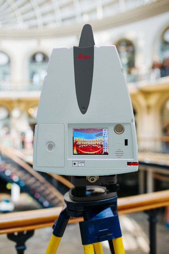
LASER SCANNING
-
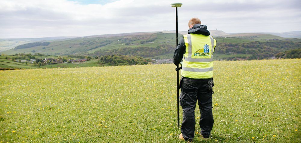
TOPOGRAPHICAL SURVEYS
-
MEASURED BUILDING SURVEYS