
SERVICES
-
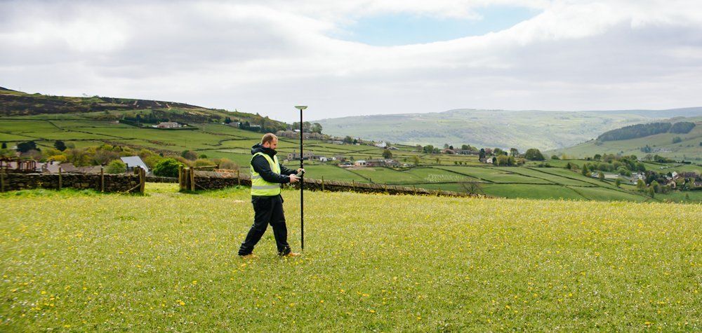
TOPOGRAPHICAL SURVEYS
The starting point for redevelopment or a design of any piece of land is an accurate topographical survey detailing the area, its dimensions and features, drawn to the correct scale and accuracy.
-
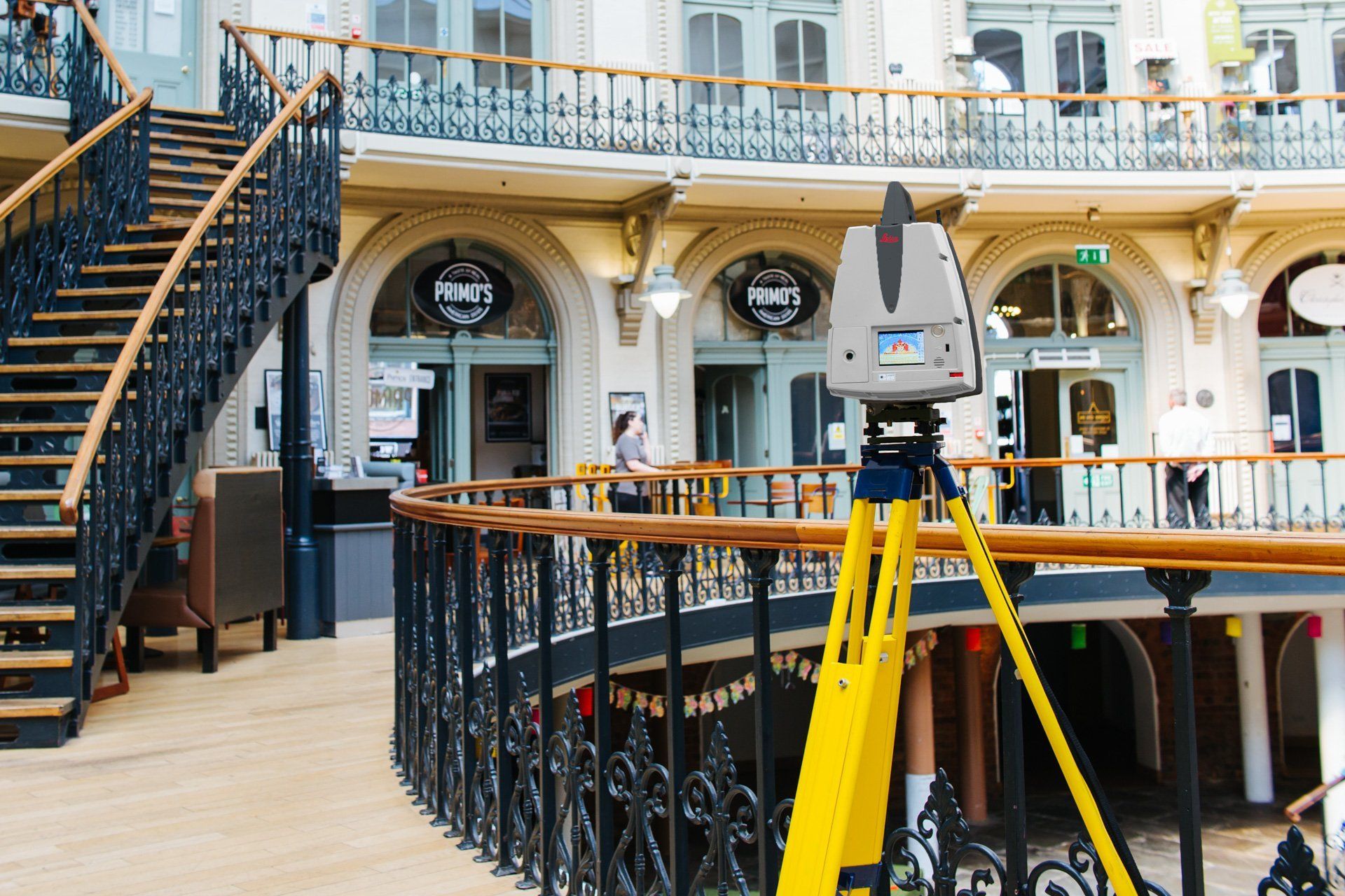
LASER SCANNING, BIM & VISUALISATION
Laser scanning provides survey operatives with a highly efficient and accurate tool in which to collect data.
-
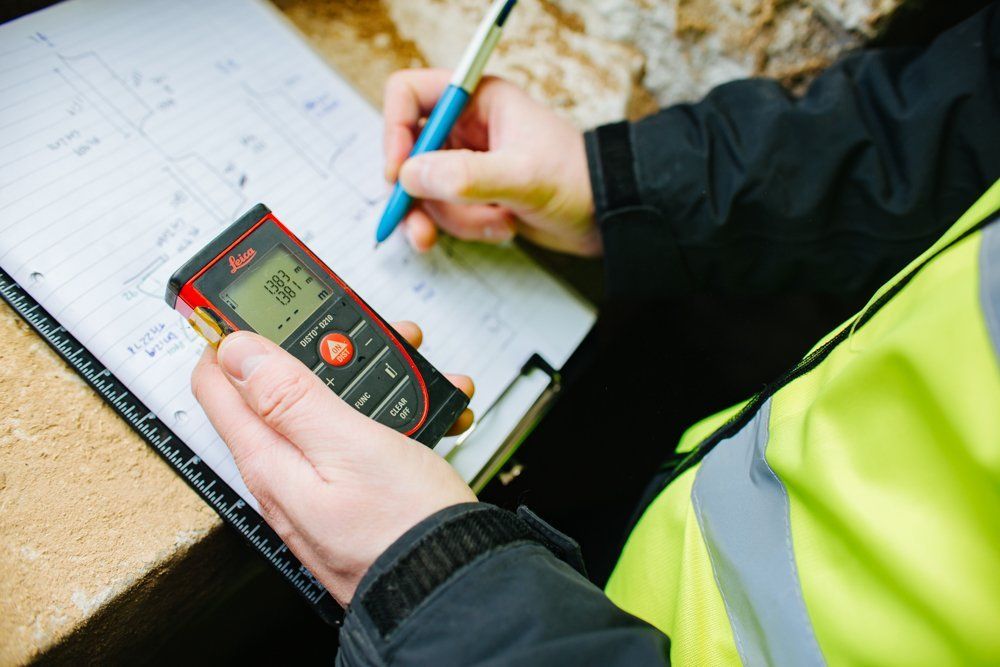
MEASURED BUILDING SURVEYS
MT Surveys captures and processes data faster than ever before by always using 3D laser scanners to collect data for measured building surveys.
-
ENGINEERING SURVEYS
We'll give you the assurance to plan, build and excavate with confidence.
-

UTILITY MAPPING
Utility tracing is an important piece of site investigation prior to any development taking place and often goes hand in hand with a topographical survey.
-
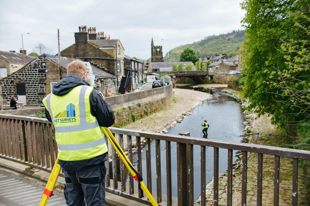
WATERCOURSE SURVEYS
Clients require watercourse surveys for a number of reasons, and we're able to offer accurate data in a wide range of environments.